 3D
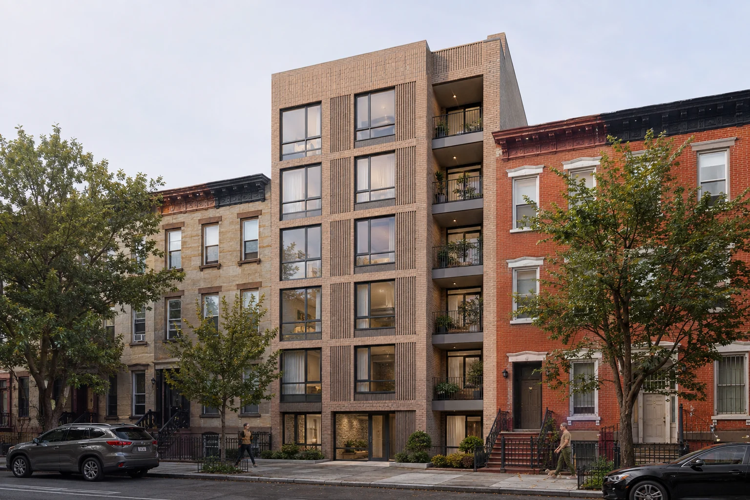
3DBrooklyn Infill Apartments
Brooklyn, NY
Aerial site visualization · Nationwide
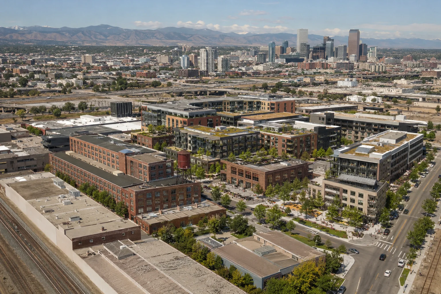
Bird’s-eye 3D renders that explain buildings, roads, lots, landscape and amenity across an entire site or district.
Upload plans for pricingThe complete development in one view
3D site and master plan renders turn technical site information into an immediate overview of a development. From above, viewers can understand building positions, roads, lots, landscape, open space, access and surrounding context in one image.
We create aerial visualizations for residential communities, industrial estates, mixed-use districts, education campuses and commercial developments. The viewpoint, level of detail and graphic treatment are tailored to planning, stakeholder, sales or investment use.
Selected work
A national collection of American residential, commercial and property visualization concepts.
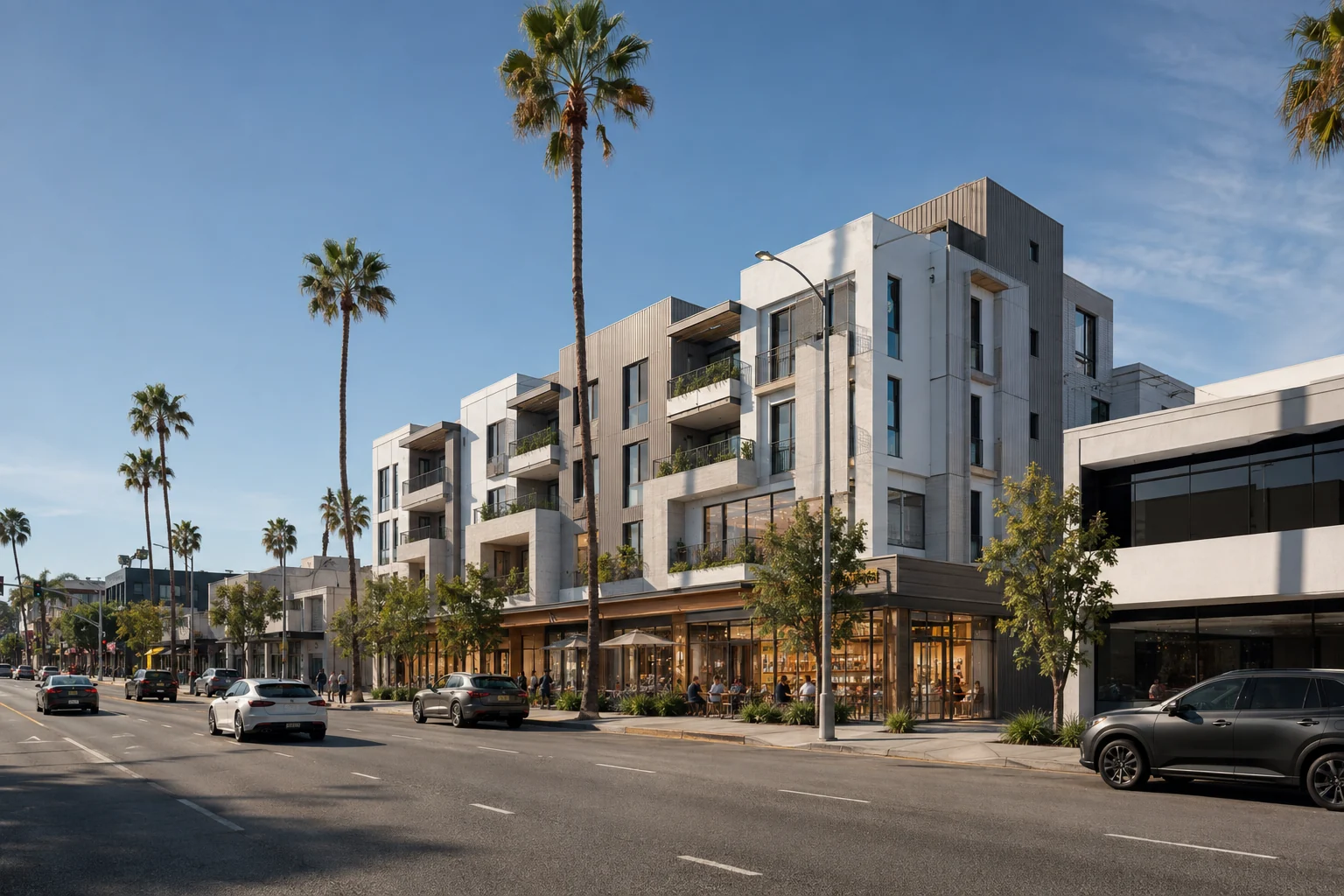
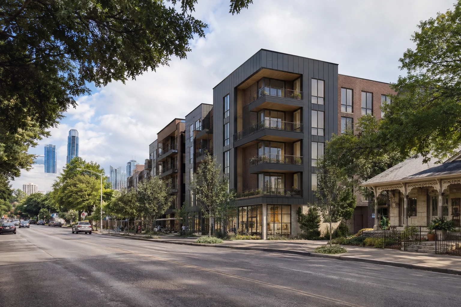
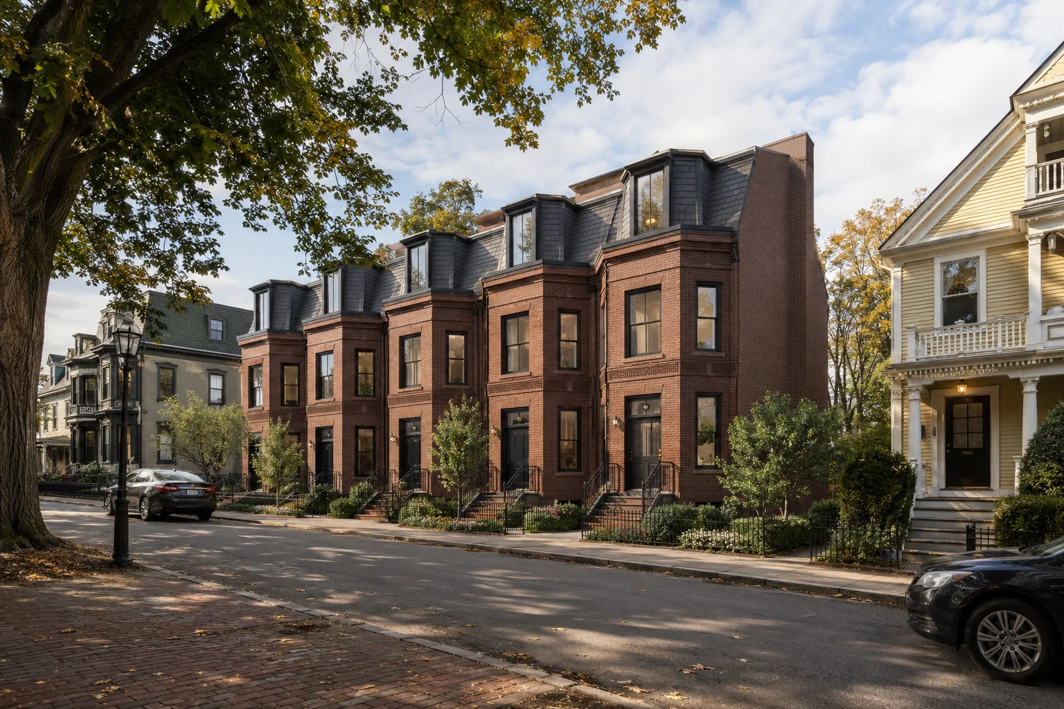
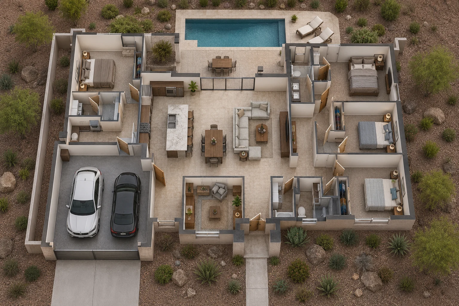
USA portfolio images are concept visualizations. Locations describe the intended architectural setting and are not claims of completed projects.
Why use it
What we can produce
Frequently asked questions
A current site plan is essential. Building plans or models, landscape information, civil layouts, staging details and surrounding context improve accuracy.
Yes. We can create coordinated views that explain individual stages, releases or future expansion.
Yes. We can provide a clean architectural image and versions with lot, road, building or amenity labels for presentations and marketing.
Start your project
Upload drawings, finishes and a short brief. Our studio will review your project and respond with tailored pricing.