 3D
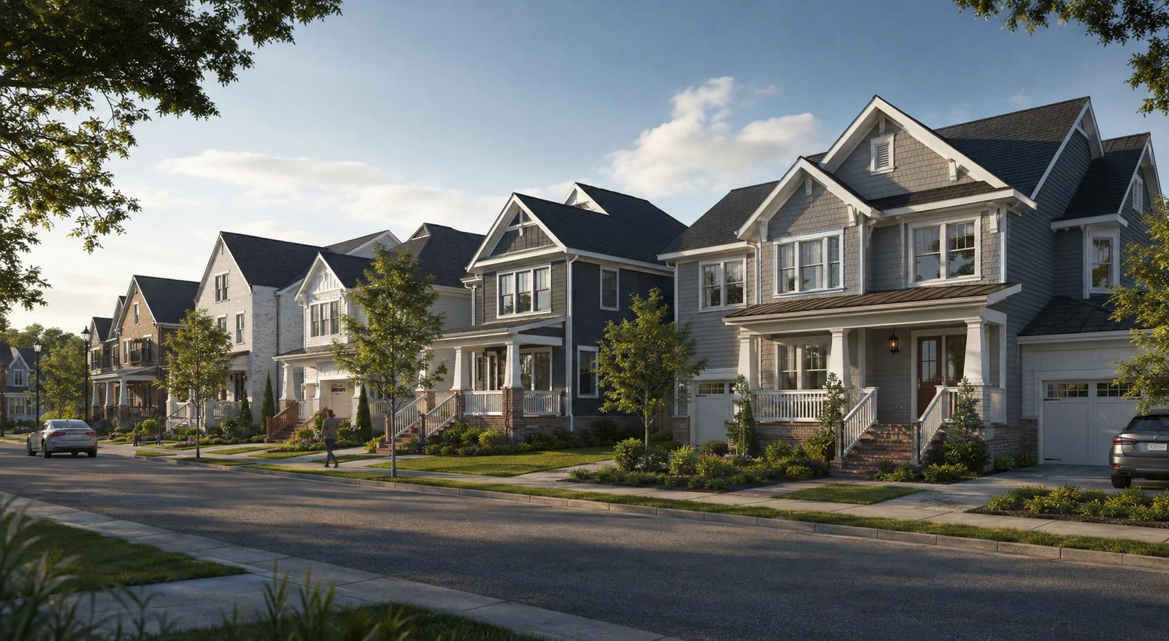
3DCharlotte Craftsman Community
Charlotte, NC
Residential streetscape visualization · Nationwide
Photorealistic streetscape renders that show how multiple homes, townhouses or lots work together as one coherent neighborhood.
Upload plans for pricingCoordinated multi-home visualization
Streetscape renders bring an entire residential release into view. They show the relationship between facades, setbacks, driveways, fencing, landscape and the public realm so builders, developers and buyers can understand the completed street at a glance.
We coordinate architecture, material palettes, planting, vehicles, people and natural lighting across every lot. The result is a believable neighborhood image for design review, municipal approval communication, builder range presentations and property marketing.
Selected work
A national collection of American residential, commercial and property visualization concepts.
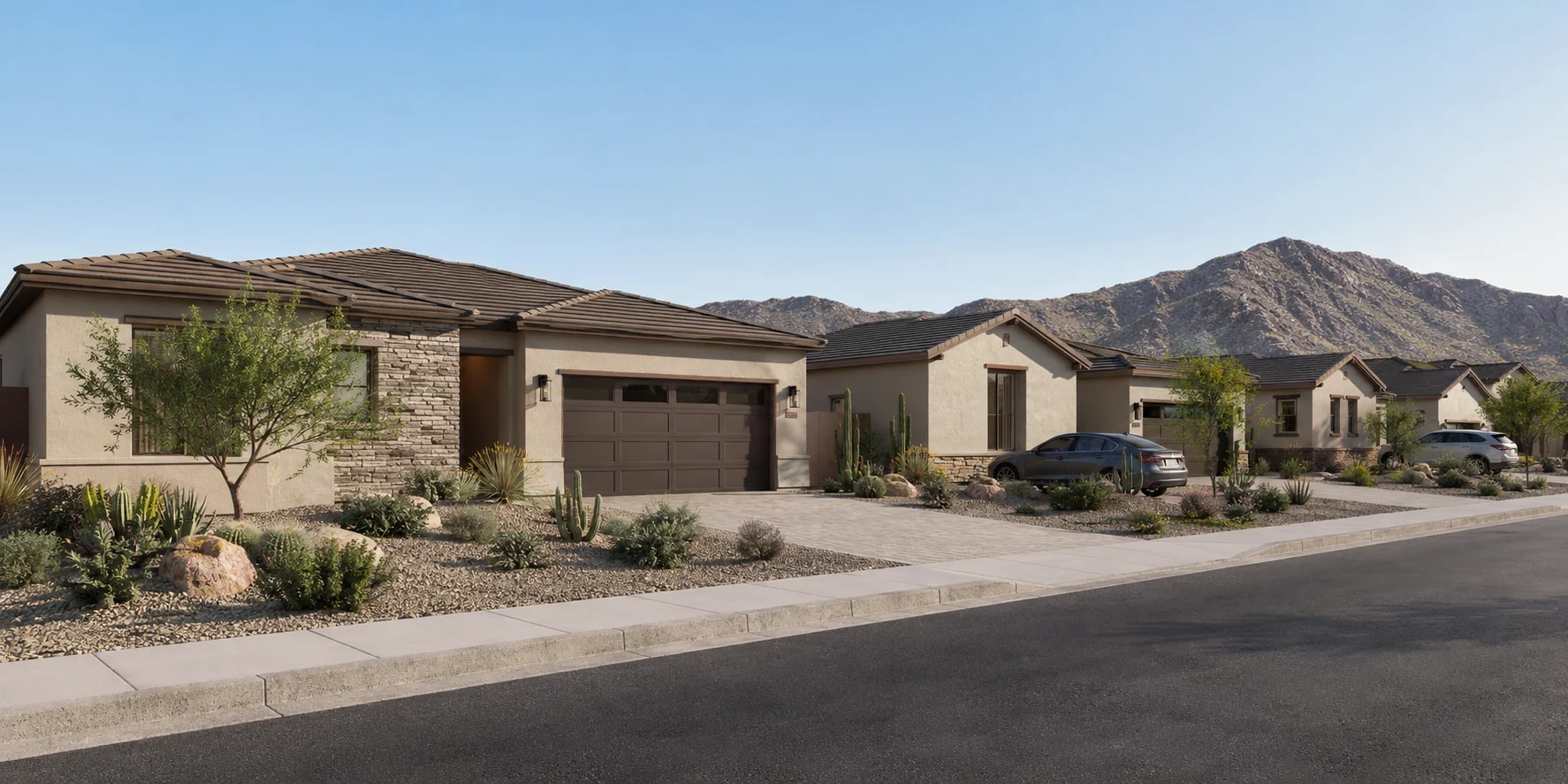
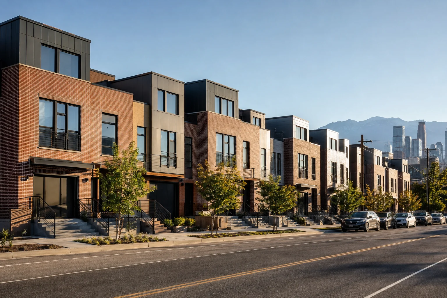
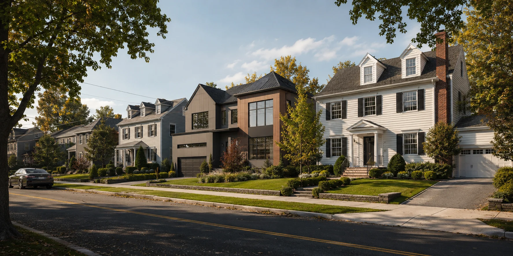
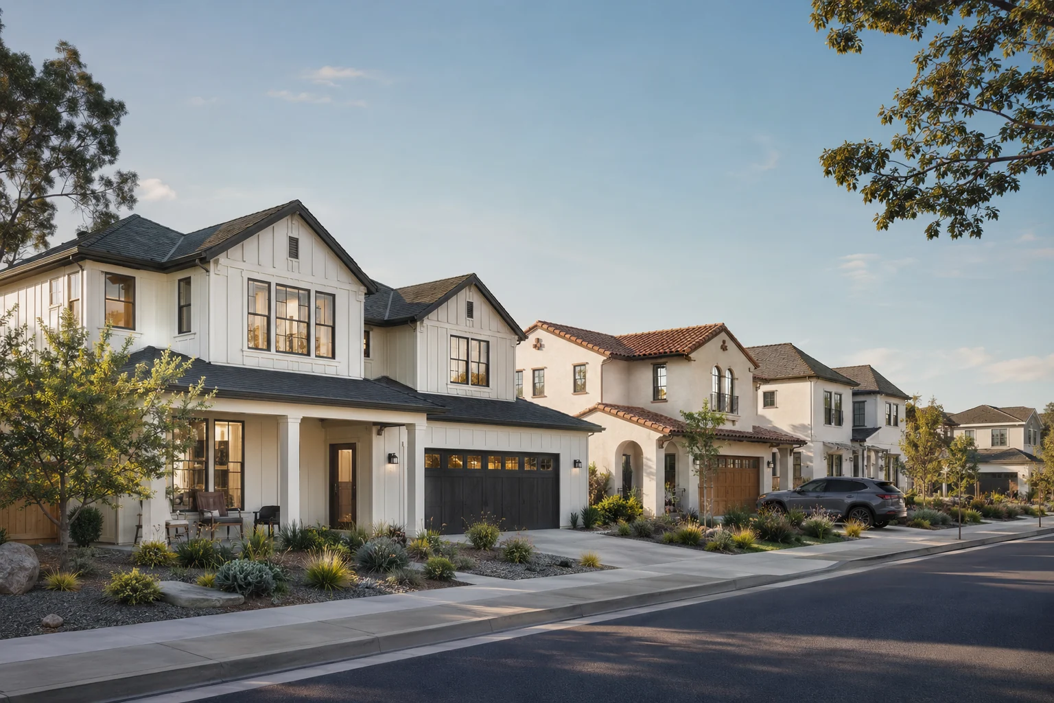
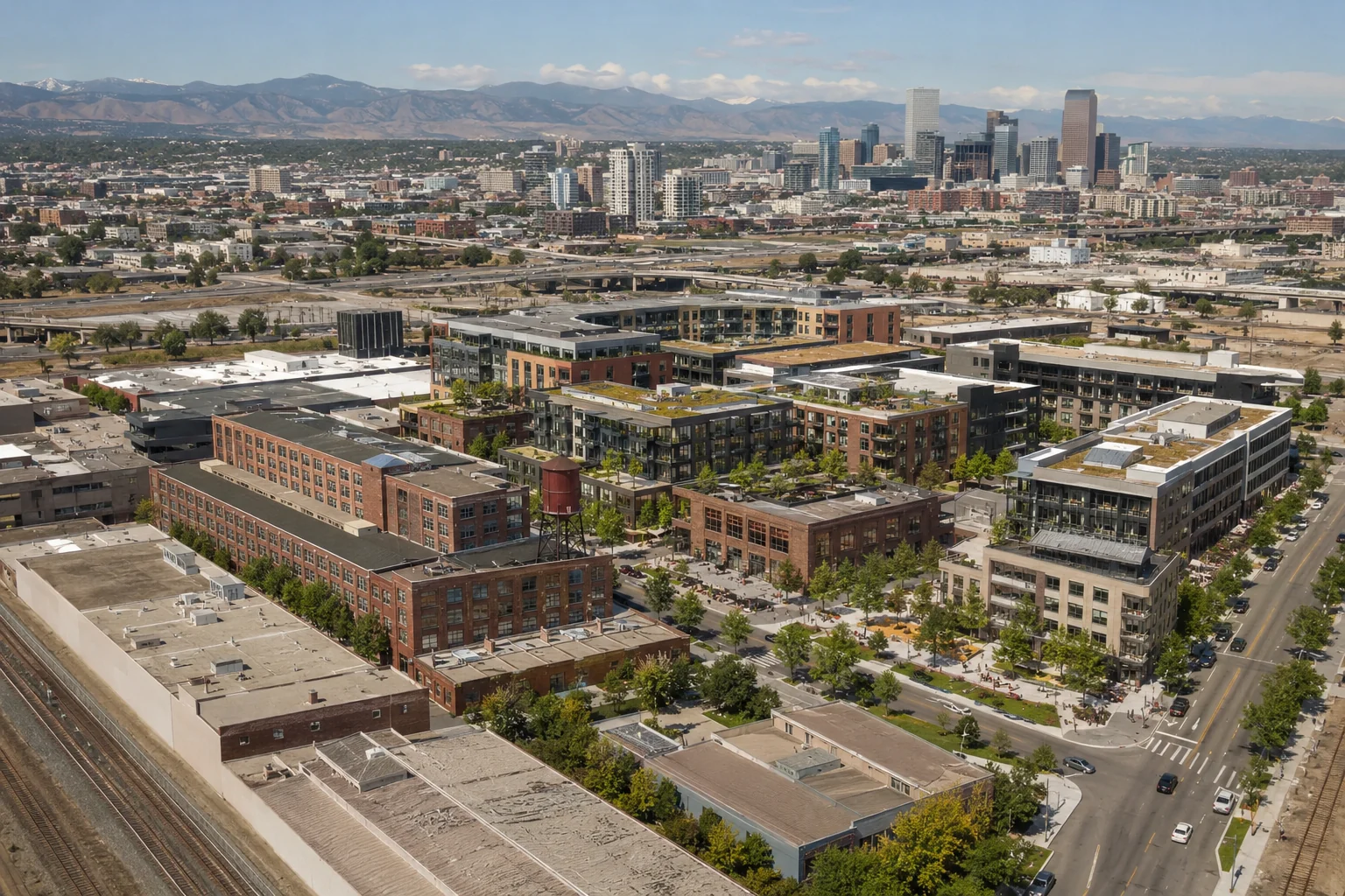
USA portfolio images are concept visualizations. Locations describe the intended architectural setting and are not claims of completed projects.
Why use it
What we can produce
Frequently asked questions
Supply the site plan, elevations, facade and color schedules, landscape information and preferred viewing direction. We can also work from coordinated 3D models where available.
Yes. We can coordinate individual palettes while maintaining a consistent visual language across the full street.
Yes. Final images can be produced at high resolution for billboards, sales displays, brochures and digital campaigns.
Start your project
Upload drawings, finishes and a short brief. Our studio will review your project and respond with tailored pricing.